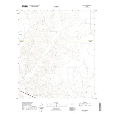
2019 Map of Savell Ranch
USGS Topo · Published 2019About this map
Savell Ranch sits at the heart of this landscape along the Schleicher Co Sutton Co border in West Texas. This interior portion of the Edwards Plateau is defined by a network of drainage channels including Buckhorn Draw, Burns Draw, and the prominent Granger Draw that winds through the central terrain. The map illustrates a contemporary ranching environment where large private holdings are connected by a sparse but essential road system, including Ranch Rd 2129 and Ranch Rd 1312. Local landmarks such as Turkey Roost Draw highlight the region's relationship with seasonal water flow and native wildlife habitat. The survey captures the specialized land use patterns common in this part of the state, where topography dictates the placement of roads and remote ranching headquarters.
Find a feature on this map
11 named features on this map. Tap any name to fly to it.
Don’t see what you’re looking for? This feature index may not catch every label — zoom into the map to look around manually.
Map Details
Editions of this 2019 Savell Ranch Map
This is the sole edition of this map. No revisions or reprints were ever made.
Other maps of this area

1954 · Sonora
USGS Topo · 1:250,000

1958 · Sonora
USGS Topo · 1:250,000

1964 · Sonora
USGS Topo · 1:24,000

1964 · Eldorado SW
USGS Topo · 1:24,000

1964 · Sonora NW
USGS Topo · 1:24,000

1964 · Coupe Ranch
USGS Topo · 1:24,000

1964 · Bailey Draw
USGS Topo · 1:24,000

1967 · Nolen Draw
USGS Topo · 1:24,000

1967 · Savell Ranch
USGS Topo · 1:24,000

1967 · Caverns Of Sonora
USGS Topo · 1:24,000