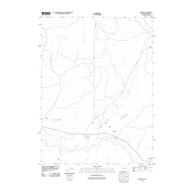
2010 Map of Savery
USGS Topo · Published 2010About this map
Savery sits at the heart of this landscape, positioned north of the meandering Little Snake River near the Wyoming-Colorado border. This 2010 survey illustrates a valley defined by small-scale coal mining and agricultural irrigation, with the First Mesa Ditch tracing the contours of the land. A significant cluster of mining operations, including the Angier Mine, Pioneer Mine, and Company Bank Mine, are situated north of the settlement, concentrated along the drainages of Savery Creek and Coal Bank Draw. Family and community history is preserved at the Reader Cemetery and Baker Cemetery, while the Dixon Airport occupies the flat expanse of Dolan Mesa. The map captures a high-desert environment where water is the primary organizer of human activity, from the naming of Putt Creek and Cottonwood Creek to the roads like Savery South Rd that follow the river's path.
Find a feature on this map
26 named features on this map. Tap any name to fly to it.
Don’t see what you’re looking for? This feature index may not catch every label — zoom into the map to look around manually.
Map Details
Editions of this 2010 Savery Map
This is the sole edition of this map. No revisions or reprints were ever made.
Other maps of this area

1916 · Craig
USGS Topo · 1:125,000

1932 · Savery
USGS Topo · 1:96,000

1940 · Savery
USGS Topo · 1:125,000

1954 · Rawlins
USGS Topo · 1:250,000

1954 · Craig
USGS Topo · 1:250,000

1957 · Craig
USGS Topo · 1:250,000

1957 · Baggs
USGS Topo · 1:62,500

1958 · Rawlins
USGS Topo · 1:250,000

1958 · Craig
USGS Topo · 1:250,000

1960 · Craig
USGS Topo · 1:250,000