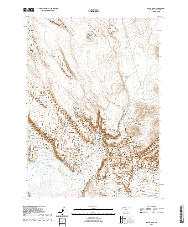
2023 Map of Sawed Horn
USGS Topo · Published 2023About this map
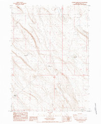
Sawed Horn and Euchre Butte anchor this high-desert landscape in Lake County, Oregon, where the scarce availability of water is the primary driver of human modification. The land is defined by a sophisticated network of stock-rearing infrastructure, visible through named features such as Brattain Reservoir Number 13, Brattain Waterhole Number 10, and Button Waterhole. This reliance on remote water sources highlights the region's ranching heritage, with large land tracts organized under the Public Land Survey System across townships like t31s r21e and t31s r22e. Beyond the grazing lands, the topography is interrupted by the dramatic incision of Shell Rock Canyon and the presence of the Kelso Reservoir. Local transport is limited to isolated routes like Co RD 2-06, reflecting the vast, open character of this section of the Oregon outback.
Find a feature on this map
17 named features on this map. Tap any name to fly to it.
Don’t see what you’re looking for? This feature index may not catch every label — zoom into the map to look around manually.
Map Details
Editions of this 2023 Sawed Horn Map
This is the sole edition of this map. No revisions or reprints were ever made.
Other maps of this area

1955 · Klamath Falls
USGS Topo · 1:250,000

1958 · Klamath Falls
USGS Topo · 1:250,000

1966 · Coglan Buttes NE
USGS Topo · 1:24,000

1968 · Lake Abert North
USGS Topo · 1:24,000

1968 · Commodore Ridge
USGS Topo · 1:24,000

1974 · Lake Abert
USGS Topo · 1:100,000
1984 · Coleman Hills
USGS Topo · 1:24,000
1984 · Sawed Horn
USGS Topo · 1:24,000
1984 · Alkali Lake
USGS Topo · 1:24,000
1984 · Poverty Basin South
USGS Topo · 1:24,000