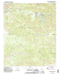
1991 Map of Sawmill Mountain
USGS Topo · Published 1991About this map
The San Andreas Rift Zone creates a striking geological corridor across this landscape, where high-altitude mountain terrain meets the developed resort community of Pine Mountain Club. Located within the Los Padres National Forest, the map captures the region at a time when recreational development and natural preservation intersected. Local landmarks like the Apache Saddle Fire Station and the Radio Tower on Mount Pinos highlight the area's importance for both regional safety and telecommunications.
Find a feature on this map
43 named features on this map. Tap any name to fly to it.
Don’t see what you’re looking for? This feature index may not catch every label — zoom into the map to look around manually.
Map Details
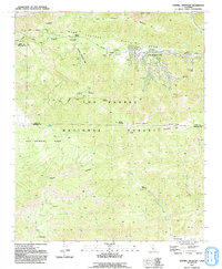
Editions of this 1991 Sawmill Mountain Map
2 editions found
Other maps of this area

1903 · Mt. Pinos
USGS Topo · 1:125,000

1942 · Eagle Rest Peak
USGS Topo · 1:24,000

1943 · Apache Canyon
USGS Topo · 1:24,000

1943 · San Guillermo
USGS Topo · 1:24,000

1943 · Sawmill Mountain
USGS Topo · 1:24,000

1943 · Santiago Creek
USGS Topo · 1:24,000

1943 · Cuddy Valley
USGS Topo · 1:24,000

1943 · Lockwood Valley
USGS Topo · 1:24,000

1943 · Reyes Peak
USGS Topo · 1:24,000
1944 · San Guillermo
USGS Topo · 1:31,680