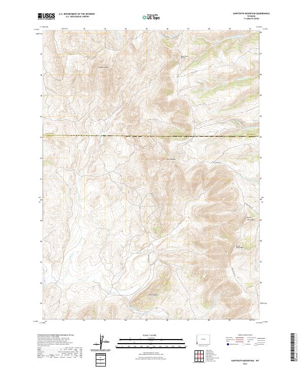
2021 Map of Sawtooth Mountain
USGS Topo · Published 2021About this map
Bear River Divide and Sawtooth Mtn dominate this high-elevation landscape along the border of Lincoln and Uinta Counties. The terrain is defined by a series of prominent peaks and ridgelines, including North Sheep Mtn, South Sheep Mtn, and the distinctive spine of The Hogback. This topography creates a complex drainage system where Cottonwood Creek and Alkali Creek flow through deep draws, while Salt Creek and its tributaries carve paths through the southern reaches of the quadrangle.
Find a feature on this map
24 named features on this map. Tap any name to fly to it.
Don’t see what you’re looking for? This feature index may not catch every label — zoom into the map to look around manually.
Map Details
Editions of this 2021 Sawtooth Mountain Map
This is the sole edition of this map. No revisions or reprints were ever made.
Other maps of this area

1912 · Randolph
USGS Topo · 1:125,000

1954 · Ogden
USGS Topo · 1:250,000

1958 · Ogden
USGS Topo · 1:250,000

1960 · Ogden
USGS Topo · 1:250,000

1962 · Bell Butte NE
USGS Topo · 1:24,000

1962 · Sawtooth Mountain
USGS Topo · 1:24,000

1962 · Windy Point
USGS Topo · 1:24,000

1962 · Bell Butte
USGS Topo · 1:24,000

1965 · Little Dee Creek
USGS Topo · 1:24,000

1965 · Three Forks
USGS Topo · 1:24,000