
1961 Map of Saxeville
USGS Topo · Published 1966About this map
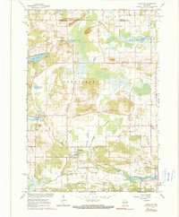
The Pine River winds through this central Wisconsin landscape, anchoring a rural community defined by its waterways and small-scale industry in the early 1960s. The village of Saxeville sits at a crossroads near the Pine River, while the northern portion of the quadrangle is marked by glacial water bodies like Big Cedar Lake and Little Cedar Lake. Numerous Gravel Pits are scattered across the terrain, indicating the local importance of aggregate extraction for road building and construction during this era.
Find a feature on this map
29 named features on this map. Tap any name to fly to it.
Don’t see what you’re looking for? This feature index may not catch every label — zoom into the map to look around manually.
Map Details
Editions of this 1961 Saxeville Map
2 editions found
Other maps of this area

1955 · Green Bay
USGS Topo · 1:250,000

1956 · Weyauwega
USGS Topo · 1:48,000

1957 · Waupaca
USGS Topo · 1:48,000

1961 · Poy Sippi
USGS Topo · 1:62,500

1961 · Redgranite
USGS Topo · 1:62,500

1961 · Wild Rose
USGS Topo · 1:24,000
1961 · Redgranite
USGS Topo · 1:24,000
1961 · Auroraville
USGS Topo · 1:24,000

1961 · Spring Lake
USGS Topo · 1:24,000
1961 · Poy Sippi
USGS Topo · 1:24,000