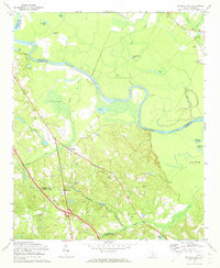
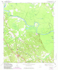
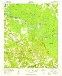
1972 Map of Saylors Lake
USGS Topo · Published 1973About this map
The Congaree River carves a sinuous path through this South Carolina landscape, creating a mosaic of oxbows and wetlands including Roundabout Lake and Goose Pond. The terrain is characterized by the low-lying river valley and the higher ground to the south, where the community of Sandy Run sits along the road network. This 1972 revision shows a rural area where social life and genealogy are anchored by numerous small country churches and family burial grounds, such as Mt Zion Ch and Bethel Cem.
Find a feature on this map
42 named features on this map. Tap any name to fly to it.
Don’t see what you’re looking for? This feature index may not catch every label — zoom into the map to look around manually.
Map Details
Editions of this 1972 Saylors Lake Map
2 editions found
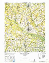
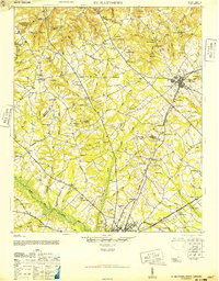
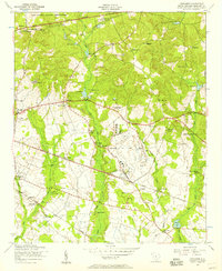
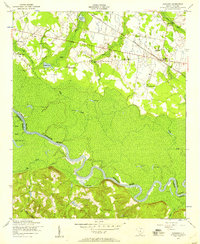
Other maps of this area

1944 · Edmund
USGS Topo · 1:62,500
1946 · Woodford
USGS Topo · 1:62,500
1946 · St. Matthews
USGS Topo · 1:62,500

1948 · Hopkins
USGS Topo · 1:62,500
1953 · Saylors Lake
USGS Topo · 1:24,000

1953 · Fort Jackson South
USGS Topo · 1:24,000
1953 · Congaree
USGS Topo · 1:24,000
1953 · Gadsden
USGS Topo · 1:24,000

1954 · Augusta
USGS Topo · 1:250,000

1957 · Augusta
USGS Topo · 1:250,000