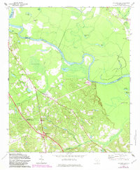
1972 Map of Saylors Lake
USGS Topo · Published 1983About this map
The Congaree River snakes through this landscape on the border of Richland and Calhoun counties, shaping a terrain of oxbows and swampy lowlands. To the north of the river, features like Green Hill Lake, Wolf Lake, and the winding Mill Creek define a bottomland environment where Roundabout Lake and Goose Pond sit tucked within the river's deep bends. Evidence of early indigenous and colonial presence is visible at Green Hill Mound, while the name Devils Orchard suggests the challenges of the local topography for early travelers.
Find a feature on this map
41 named features on this map. Tap any name to fly to it.
Don’t see what you’re looking for? This feature index may not catch every label — zoom into the map to look around manually.
Map Details
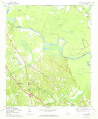
Editions of this 1972 Saylors Lake Map
2 editions found
Other maps of this area

1944 · Edmund
USGS Topo · 1:62,500

1946 · Woodford
USGS Topo · 1:62,500

1946 · St. Matthews
USGS Topo · 1:62,500

1948 · Hopkins
USGS Topo · 1:62,500

1953 · Saylors Lake
USGS Topo · 1:24,000

1953 · Fort Jackson South
USGS Topo · 1:24,000
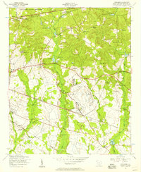
1953 · Congaree
USGS Topo · 1:24,000

1953 · Gadsden
USGS Topo · 1:24,000

1954 · Augusta
USGS Topo · 1:250,000

1957 · Augusta
USGS Topo · 1:250,000