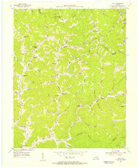
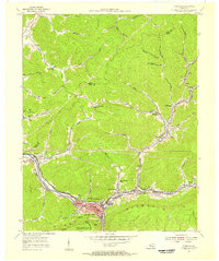
1954 Map of Scalf
USGS Topo · Published 1956About this map
Stinking Creek winds through a dense landscape of deep hollows and narrow ridges in this mid-century portrait of southeastern Kentucky. The region is defined by its small, scattered rural communities and an extensive network of local schoolhouses that served the various creek branches, including the Mills Creek Sch, Jackson Sch, and Messer Sch. Near Hammond, the map records a high concentration of family-oriented landmarks and small churches like the Young Grove Ch, reflecting a settlement pattern deeply rooted in the local topography.
Find a feature on this map
79 named features on this map. Tap any name to fly to it.
Don’t see what you’re looking for? This feature index may not catch every label — zoom into the map to look around manually.
Map Details
Editions of this 1954 Scalf Map
2 editions found
Other maps of this area

1886 · Cumberland Gap
USGS Topo · 1:125,000

1888 · Cumberland Gap
USGS Topo · 1:125,000

1891 · Manchester
USGS Topo · 1:125,000

1891 · Cumberland Gap
USGS Topo · 1:125,000

1903 · Pineville
USGS Topo · 1:48,000

1952 · Hima
USGS Topo · 1:24,000

1952 · Fount
USGS Topo · 1:24,000
1952 · Artemus
USGS Topo · 1:24,000
1954 · Ogle
USGS Topo · 1:24,000
1954 · Pineville
USGS Topo · 1:24,000