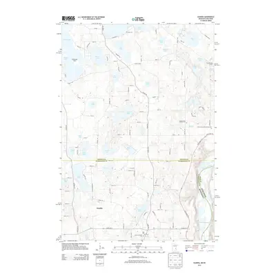
2013 Map of Scandia
USGS Topo · Published 2013About this map
Scandia sits at the heart of a landscape defined by its glacial heritage, where dozens of kettle lakes dot the border between Chisago and Washington Counties. The area’s spiritual and communal history is marked by several burial grounds, including the Elim Cem and the Panola German Methodist Cem, which speak to the various ethnic congregations that settled these plains. To the east, the terrain drops toward the Saint Croix River, creating a natural boundary with Wisconsin.
Find a feature on this map
111 named features on this map. Tap any name to fly to it.
Don’t see what you’re looking for? This feature index may not catch every label — zoom into the map to look around manually.
Map Details
Editions of this 2013 Scandia Map
This is the sole edition of this map. No revisions or reprints were ever made.
Other maps of this area

1900 · St Croix Dalles
USGS Topo · 1:62,500

1901 · St Croix Dalles
USGS Topo · 1:62,500

1948 · New Richmond
USGS Topo · 1:62,500

1948 · Stillwater
USGS Topo · 1:62,500

1949 · New Richmond
USGS Topo · 1:62,500

1949 · Stillwater
USGS Topo · 1:62,500

1953 · Stillwater
USGS Topo · 1:250,000

1954 · Hugo
USGS Topo · 1:24,000

1955 · St. Croix Dalles
USGS Topo · 1:62,500

1955 · Marine
USGS Topo · 1:24,000