Loading...
Loading map...2022 Map of Scandia
USGS Topo · Published 2022About this map
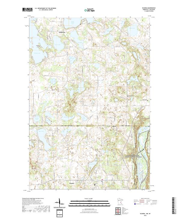
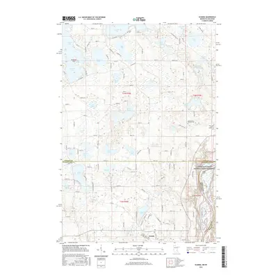
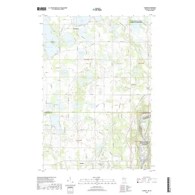
Lindstrom and Scandia anchor this landscape of the Upper St. Croix Valley, where a dense network of glacial lakes defines the terrain and historical settlement patterns. The map highlights the eastern border of Minnesota along the St Croix River, protected by the Lower Saint Croix National Scenic Riverway. This water-rich geography is punctuated by significant local landmarks such as Schlimmer Point on Chisago Lake and the wetlands of McLeods Slough.
Find a feature on this map
129 named features on this map. Tap any name to fly to it.
Don’t see what you’re looking for? This feature index may not catch every label — zoom into the map to look around manually.
Map Details
Date Portrayed2022
Date Published2022
PublisherU.S. Geological Survey
Map TypeTopographic
Scale1:24,000
Physical Dimensions24 x 29 inches
Editions of this 2022 Scandia Map
This is the sole edition of this map. No revisions or reprints were ever made.
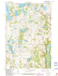
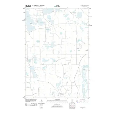
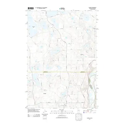
Historical Maps of Chisago City Through Time
6 maps found
Featured Locations
Source Details
SourceU.S. Geological Survey
CopyrightPublic Domain