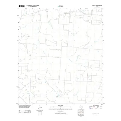
2010 Map of Schattel NW
USGS Topo · Published 2010About this map
San Miguel Creek and its many tributaries, including Buckhorn Creek and Becerro Creek, define the drainage patterns of this rural Frio County landscape. The area is characterized by a sparse network of ranch roads and state highways, such as E FM 140, connecting isolated homesteads and resource extraction sites. This 2010 survey highlights the West Big Foot Gas Field in the northern reaches, indicating the importance of energy production in the local economy. Distinctive geographical depressions like Mustang Hollow and Sand Hollow break the terrain, while the settlement of Rancho Pobre stands as a primary named habitation point. The map captures a transition in land use, where traditional Texas ranching meets modern industrial infrastructure, documented through the presence of numerous private tracks and named county roads like Sadler RD and Newsome RD.
Find a feature on this map
28 named features on this map. Tap any name to fly to it.
Don’t see what you’re looking for? This feature index may not catch every label — zoom into the map to look around manually.
Map Details
Editions of this 2010 Schattel NW Map
This is the sole edition of this map. No revisions or reprints were ever made.
Other maps of this area

1927 · Pearsall
USGS Topo · 1:62,500

1934 · Schattel
USGS Topo · 1:62,500

1942 · Natalia
USGS Topo · 1:62,500

1953 · Crystal City
USGS Topo · 1:250,000

1954 · San Antonio
USGS Topo · 1:250,000

1955 · Crystal City
USGS Topo · 1:250,000

1957 · San Antonio
USGS Topo · 1:250,000

1961 · Crystal City
USGS Topo · 1:250,000

1964 · Pearsall South
USGS Topo · 1:24,000

1964 · Ghost Hill
USGS Topo · 1:24,000