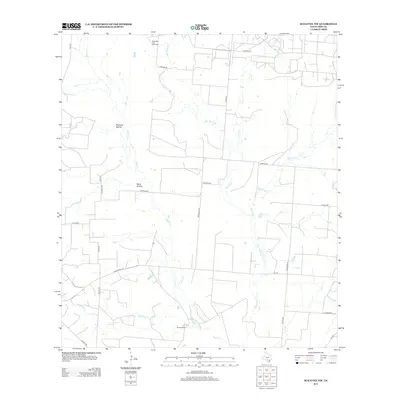
2012 Map of Schattel NW
USGS Topo · Published 2012About this map
West Big Foot Gas Field occupies the northern reaches of this Frio County landscape, reflecting the region's energy extraction history alongside its traditional ranching roots. The terrain is defined by a dendritic network of seasonal drainages, including the prominent San Miguel Cr, Black Cr, and Buckhorn Cr, which carve through the south Texas brush country. These watercourses are punctuated by named topographical features such as Mustang Hollow and Sand Hollow, indicating the subtle but significant shifts in elevation that dictate local land use.
Find a feature on this map
32 named features on this map. Tap any name to fly to it.
Don’t see what you’re looking for? This feature index may not catch every label — zoom into the map to look around manually.
Map Details
Editions of this 2012 Schattel NW Map
This is the sole edition of this map. No revisions or reprints were ever made.
Other maps of this area

1927 · Pearsall
USGS Topo · 1:62,500

1934 · Schattel
USGS Topo · 1:62,500

1942 · Natalia
USGS Topo · 1:62,500

1953 · Crystal City
USGS Topo · 1:250,000

1954 · San Antonio
USGS Topo · 1:250,000

1955 · Crystal City
USGS Topo · 1:250,000

1957 · San Antonio
USGS Topo · 1:250,000

1961 · Crystal City
USGS Topo · 1:250,000

1964 · Pearsall South
USGS Topo · 1:24,000

1964 · Ghost Hill
USGS Topo · 1:24,000