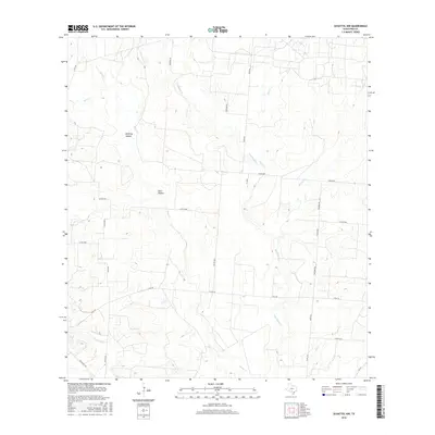
2016 Map of Schattel NW
USGS Topo · Published 2016About this map
Mustang Hollow and Sand Hollow characterize the drainage patterns of this Frio County landscape, where an intricate network of intermittent creeks feeds the regional watershed. This survey shows the rural transition of south Texas in the mid-2010s, defined by a sparse grid of country roads and ranch access routes. Major waterways including San Miguel Cr and Black Cr wind through the terrain, joined by smaller tributaries like Elm Cr and Becerro Cr. The infrastructure is dominated by state and county routes such as E FM 140 and S Goldfinch Rd, which facilitate movement between scattered homesteads and larger parcels. The topographical detail reveals a land shaped by erosion, where low-lying hollows provide the primary relief in an otherwise subtle, sprawling prairie environment.
Find a feature on this map
29 named features on this map. Tap any name to fly to it.
Don’t see what you’re looking for? This feature index may not catch every label — zoom into the map to look around manually.
Map Details
Editions of this 2016 Schattel NW Map
This is the sole edition of this map. No revisions or reprints were ever made.
Other maps of this area

1927 · Pearsall
USGS Topo · 1:62,500

1934 · Schattel
USGS Topo · 1:62,500

1942 · Natalia
USGS Topo · 1:62,500

1953 · Crystal City
USGS Topo · 1:250,000

1954 · San Antonio
USGS Topo · 1:250,000

1955 · Crystal City
USGS Topo · 1:250,000

1957 · San Antonio
USGS Topo · 1:250,000

1961 · Crystal City
USGS Topo · 1:250,000

1964 · Pearsall South
USGS Topo · 1:24,000

1964 · Ghost Hill
USGS Topo · 1:24,000