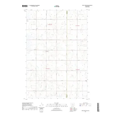
2018 Map of Schell Buttes NW
USGS Topo · Published 2018About this map
Emmons and Logan county lines meet in this central North Dakota prairie landscape, where the township structure remains remarkably intact. The terrain is defined by the winding course of Long Lake Cr, which cuts through several sections of the township grid. For genealogists and local historians, this survey provides precise locations for three distinct community burial grounds: Tell Cem in the northwest, the centrally located Finnish Evangelical Lutheran Cem, and Saint Boniface Cem to the southeast. The area is organized by a systematic network of section roads, including 21st Ave SE and 67th St SE, reflecting the agricultural heritage of the region during the twenty-first century.
Find a feature on this map
22 named features on this map. Tap any name to fly to it.
Don’t see what you’re looking for? This feature index may not catch every label — zoom into the map to look around manually.
Map Details
Editions of this 2018 Schell Buttes NW Map
This is the sole edition of this map. No revisions or reprints were ever made.
Other maps of this area

1953 · Jamestown
USGS Topo · 1:250,000

1954 · Bismarck
USGS Topo · 1:250,000

1956 · Jamestown
USGS Topo · 1:250,000

1958 · Bismarck
USGS Topo · 1:250,000

1975 · Linton NE
USGS Topo · 1:24,000

1975 · Braddock
USGS Topo · 1:24,000

1975 · Kintyre
USGS Topo · 1:24,000

1979 · Schell Buttes
USGS Topo · 1:24,000

1979 · Bismarck
USGS Topo · 1:100,000

1979 · Schell Buttes SW
USGS Topo · 1:24,000