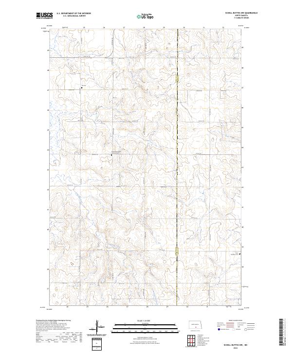
2024 Map of Schell Buttes NW
USGS Topo · Published 2024About this map
Long Lake Creek meanders through this portion of the northern plains, cutting a winding path across the border of Emmons Co and Logan Co. This agricultural landscape is defined by a precise section-line road network, including 64th St SE and 24th Ave SE, which serve isolated farmsteads and rural landmarks. For genealogists, the map identifies several significant burial sites that reflect the region's diverse heritage, such as the Finnish Evangelical Lutheran Cem in the central township. Other notable sites include the Tell Cem to the northwest and the Saint Boniface Cem in the southeast, each anchored within the strictly surveyed townships of t135n r74w and t134n r73w.
Find a feature on this map
22 named features on this map. Tap any name to fly to it.
Don’t see what you’re looking for? This feature index may not catch every label — zoom into the map to look around manually.
Map Details
Editions of this 2024 Schell Buttes NW Map
This is the sole edition of this map. No revisions or reprints were ever made.
Other maps of this area

1953 · Jamestown
USGS Topo · 1:250,000

1954 · Bismarck
USGS Topo · 1:250,000

1956 · Jamestown
USGS Topo · 1:250,000

1958 · Bismarck
USGS Topo · 1:250,000

1975 · Linton NE
USGS Topo · 1:24,000

1975 · Braddock
USGS Topo · 1:24,000

1975 · Kintyre
USGS Topo · 1:24,000

1979 · Schell Buttes
USGS Topo · 1:24,000

1979 · Bismarck
USGS Topo · 1:100,000

1979 · Schell Buttes SW
USGS Topo · 1:24,000