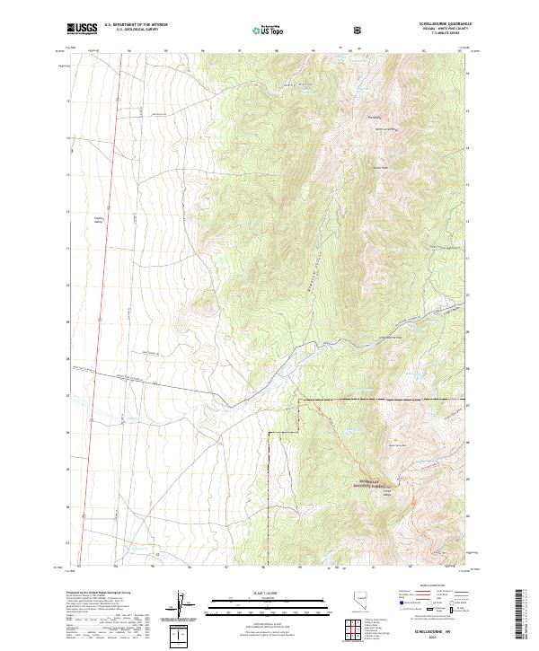
2021 Map of Schellbourne
USGS Topo · Published 2021About this map
Pony Express Trl cuts across this high-desert landscape, following a historic corridor through the Steptoe Valley toward the formidable Schell Creek Range. This 2021 survey reveals a geography defined by its water sources and mountain passes, where Schellbourne Pass and the nearby Schellbourne Springs have long served as vital waypoints for travelers crossing the Great Basin. To the east, the terrain rises sharply into the Humboldt National Forest, dominated by peaks such as North Lovell Peak and Lovell Peak. The mapping of drainage systems like Schell Cr and Tehama Cr illustrates how seasonal water flow has carved out features like McMaughn Canyon and Long Gulch, providing a detailed view of the natural barriers and conduits that shaped early Nevada transit routes.
Find a feature on this map
33 named features on this map. Tap any name to fly to it.
Don’t see what you’re looking for? This feature index may not catch every label — zoom into the map to look around manually.
Map Details
Editions of this 2021 Schellbourne Map
This is the sole edition of this map. No revisions or reprints were ever made.
Other maps of this area

1956 · Ely
USGS Topo · 1:250,000

1959 · Ely
USGS Topo · 1:250,000

1963 · Ely
USGS Topo · 1:250,000

1982 · Borchert Spring
USGS Topo · 1:24,000

1982 · Cherry Spring
USGS Topo · 1:24,000
1982 · Monte Neva Hot Springs
USGS Topo · 1:24,000
1982 · Becky Peak
USGS Topo · 1:24,000
1982 · Silver Canyon
USGS Topo · 1:24,000
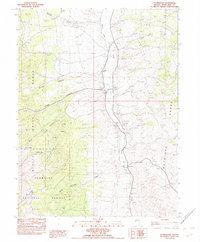
1982 · Stonehouse
USGS Topo · 1:24,000
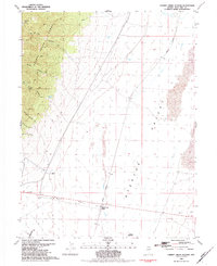
1982 · Cherry Creek Station
USGS Topo · 1:24,000