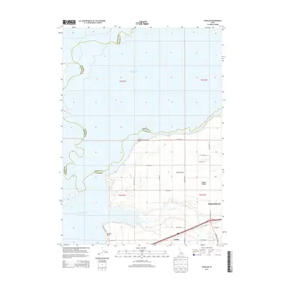
2013 Map of Schiller
USGS Topo · Published 2013About this map
The American Falls Reservoir dominates the western half of this Idaho landscape, where the waters meet the expansive Michaud Flats and the southern reaches of the Arbon Valley. Situated west of Pocatello, this area transitions from the reservoir shoreline to a grid of agricultural and local roads. Small settlements and shoreline points such as Schiller, Bronco Beach, and Rainbow Beach are linked by a network including Rainbow Beach Rd and the Arbon Valley Hwy. The map provides a detailed view of the terrain as it appeared in the early 21st century, illustrating how the presence of Bannock Creek and the reservoir dictates the placement of infrastructure and land use across the county lines of Bingham, Bannock, and Power counties.
Find a feature on this map
32 named features on this map. Tap any name to fly to it.
Don’t see what you’re looking for? This feature index may not catch every label — zoom into the map to look around manually.
Map Details
Editions of this 2013 Schiller Map
This is the sole edition of this map. No revisions or reprints were ever made.
Other maps of this area

1934 · American Falls
USGS Topo · 1:62,500

1934 · Michaud
USGS Topo · 1:62,500

1936 · American Falls
USGS Topo · 1:62,500

1937 · Michaud
USGS Topo · 1:62,500

1954 · Pocatello
USGS Topo · 1:250,000

1955 · Pingree
USGS Topo · 1:24,000

1955 · Springfield
USGS Topo · 1:24,000

1955 · Idaho Falls
USGS Topo · 1:250,000

1958 · Idaho Falls
USGS Topo · 1:250,000

1958 · Pocatello
USGS Topo · 1:250,000