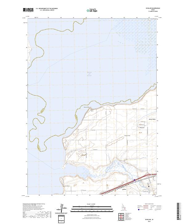
2024 Map of Schiller
USGS Topo · Published 2024About this map
American Falls Reservoir dominates the northern landscape of this region, meeting the shore at points such as Bronco Point and Bronco Beach. The southern portion of the map transitions into a developed agricultural and residential corridor defined by Michaud Flats and the settlement of Schiller. This area is intersected by a modern transportation network, including the Arbon Valley Hwy and Frontage Rd, reflecting the continued growth of the eastern Idaho corridor. To the southeast, the terrain rises toward Arbon Valley, where local history is anchored by the Bannock Creek Cem near the banks of Bannock Creek. The juxtaposition of the reservoir's wide expanse against the grid of rural roads like W Michaud Rd and Shoemaker Rd illustrates the integration of water management and highland settlement in this part of Power County.
Find a feature on this map
31 named features on this map. Tap any name to fly to it.
Don’t see what you’re looking for? This feature index may not catch every label — zoom into the map to look around manually.
Map Details
Editions of this 2024 Schiller Map
This is the sole edition of this map. No revisions or reprints were ever made.
Other maps of this area

1934 · American Falls
USGS Topo · 1:62,500

1934 · Michaud
USGS Topo · 1:62,500

1936 · American Falls
USGS Topo · 1:62,500

1937 · Michaud
USGS Topo · 1:62,500

1954 · Pocatello
USGS Topo · 1:250,000

1955 · Pingree
USGS Topo · 1:24,000

1955 · Springfield
USGS Topo · 1:24,000

1955 · Idaho Falls
USGS Topo · 1:250,000

1958 · Idaho Falls
USGS Topo · 1:250,000

1958 · Pocatello
USGS Topo · 1:250,000