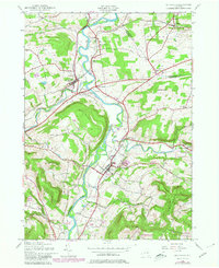
1943 Map of Schoharie
USGS Topo · Published 1980About this map
Schoharie Creek and its major tributaries, Cobleskill Creek and Fox Creek, define the landscape of this mid-century New York valley. The map reveals a robust rural infrastructure centered on the village of Schoharie, where St Pauls Ch stands near the confluence of local routes. The transportation corridor follows the natural grade of the valley floor, dominated by the Delaware and Hudson railroad and nodes like Schoharie Junction and Esperance Sta.
Find a feature on this map
38 named features on this map. Tap any name to fly to it.
Don’t see what you’re looking for? This feature index may not catch every label — zoom into the map to look around manually.
Map Details
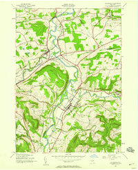
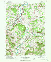
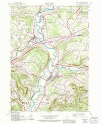
Editions of this 1943 Schoharie Map
4 editions found
Other maps of this area

1895 · Amsterdam
USGS Topo · 1:62,500

1896 · Fonda
USGS Topo · 1:62,500

1898 · Fonda
USGS Topo · 1:62,500

1898 · Schoharie
USGS Topo · 1:62,500

1900 · Schoharie
USGS Topo · 1:62,500

1900 · Schoharie
USGS Topo · 1:31,680

1900 · Berne
USGS Topo · 1:62,500

1902 · Fonda
USGS Topo · 1:62,500

1903 · Berne
USGS Topo · 1:62,500

1931 · Amsterdam
USGS Topo · 1:62,500