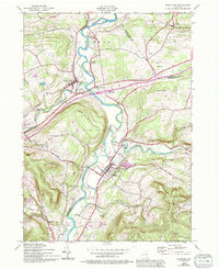
1943 Map of Schoharie
USGS Topo · Published 1994About this map
Schoharie Creek dictates the geography of this Catskill foothills region, cutting a wide valley through prominent elevations like Terrace Mountain and Barton Hill. The village of Schoharie serves as a central hub, rich with local heritage markers such as the Old Stone Fort Museum and the adjacent Old Stone Fort Cemetery. The map reflects a landscape defined by its agricultural roots and early industrial connections, where the Delaware and Hudson railroad tracks meet the water at Schoharie Junction.
Find a feature on this map
55 named features on this map. Tap any name to fly to it.
Don’t see what you’re looking for? This feature index may not catch every label — zoom into the map to look around manually.
Map Details
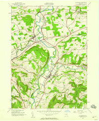
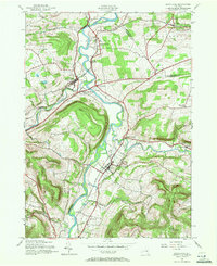
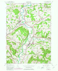
Editions of this 1943 Schoharie Map
4 editions found
Other maps of this area

1895 · Amsterdam
USGS Topo · 1:62,500

1896 · Fonda
USGS Topo · 1:62,500

1898 · Fonda
USGS Topo · 1:62,500

1898 · Schoharie
USGS Topo · 1:62,500

1900 · Schoharie
USGS Topo · 1:62,500

1900 · Schoharie
USGS Topo · 1:31,680

1900 · Berne
USGS Topo · 1:62,500

1902 · Fonda
USGS Topo · 1:62,500

1903 · Berne
USGS Topo · 1:62,500

1931 · Amsterdam
USGS Topo · 1:62,500