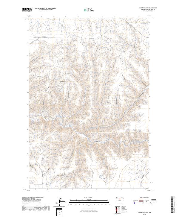
2023 Map of Schott Canyon
USGS Topo · Published 2023About this map
Schott Canyon and the surrounding drainage basins of Thirtymile Creek characterize this high-desert landscape in central Oregon. The topography is defined by a dense network of deeply incised canyons and prominent volcanic landmarks, including Zero Butte and Coyote Butte. This modern survey reveals a region primarily accessed by narrow transit corridors such as Richmond Rd and Sniption Canyon Rd, which follow the natural contours of the land. Historically significant drainage names like Ferry Canyon and Coffin Canyon suggest the movement and challenges of earlier travel through these corridors. The landscape is a complex of ridges, notably Shoestring Ridge and Stebins Ridge, illustrating the geological erosion patterns typical of the Columbia Plateau's outskirts. The map's detail provides researchers with a precise view of current water resources and land management boundaries across the Gilliam County plateau.
Find a feature on this map
37 named features on this map. Tap any name to fly to it.
Don’t see what you’re looking for? This feature index may not catch every label — zoom into the map to look around manually.
Map Details
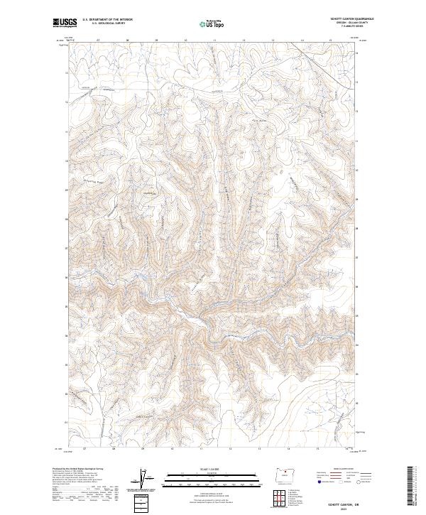
Editions of this 2023 Schott Canyon Map
2 editions found
Other maps of this area

1916 · Condon
USGS Topo · 1:125,000

1953 · The Dalles
USGS Topo · 1:250,000

1956 · The Dalles
USGS Topo · 1:250,000

1957 · The Dalles
USGS Topo · 1:250,000

1970 · Igo Butte
USGS Topo · 1:24,000
1970 · Schott Canyon
USGS Topo · 1:24,000
1970 · Chimney Springs
USGS Topo · 1:24,000

1970 · Condon
USGS Topo · 1:24,000
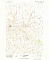
1970 · Buckhorn Canyon
USGS Topo · 1:24,000
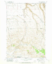
1970 · Fossil North
USGS Topo · 1:24,000