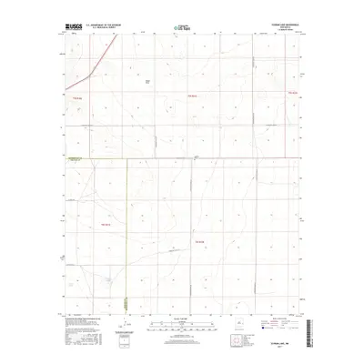
2017 Map of Schram Lake
USGS Topo · Published 2017About this map
Spillman Cem sits near the crossing of S Roosevelt Road 30 and S Roosevelt Road AM, serving as a quiet focal point in this high plains landscape on the border of Chaves and Roosevelt counties. The terrain is defined by the broad depression of Boone Draw, which cuts across the central townships and directs the placement of the rural road grid. The map highlights a localized drainage system featuring Schram Lake and Woods Lake, rare instances of surface water in an otherwise arid ranching environment. The straight-line geometry of the survey sections is strictly maintained by routes like S Roosevelt Road AK and Claunch Rd, illustrating the systematic division of the eastern New Mexico territory into large-scale agricultural and grazing tracts.
Find a feature on this map
19 named features on this map. Tap any name to fly to it.
Don’t see what you’re looking for? This feature index may not catch every label — zoom into the map to look around manually.
Map Details
Editions of this 2017 Schram Lake Map
This is the sole edition of this map. No revisions or reprints were ever made.
Other maps of this area

1954 · Brownfield
USGS Topo · 1:250,000

1958 · Brownfield
USGS Topo · 1:250,000

1962 · Brownfield
USGS Topo · 1:250,000
1978 · Elida
USGS Topo · 1:24,000

1978 · Button Mesa North
USGS Topo · 1:24,000
1979 · Badger Lake
USGS Topo · 1:24,000

1979 · Kenna
USGS Topo · 1:24,000
1979 · San Juan Mesa East
USGS Topo · 1:24,000
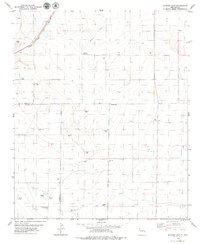
1979 · Schram Lake
USGS Topo · 1:24,000
1979 · Elida SE
USGS Topo · 1:24,000