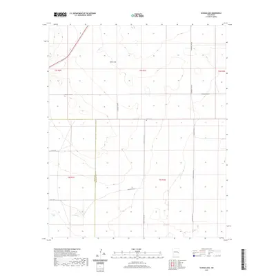
2020 Map of Schram Lake
USGS Topo · Published 2020About this map
The county line between Chaves Co and Roosevelt Co bisects this high plains landscape, where subtle topographic depressions create seasonal basins. Significant for local family historians, the Spillman Cem is situated along S Roosevelt Road 30, serving as a permanent landmark in a region defined by agricultural sections and long-distance county roads. The drainage of Boone Draw trends across the northern sections, while the southern reaches contain the ephemeral waters of Schram Lake and Woods Lake. This survey illustrates the rigid grid of the Public Land Survey System, with roads like S Roosevelt Road AK and Claunch Rd following section lines through the eastern New Mexico cattle and farming country.
Find a feature on this map
18 named features on this map. Tap any name to fly to it.
Don’t see what you’re looking for? This feature index may not catch every label — zoom into the map to look around manually.
Map Details
Editions of this 2020 Schram Lake Map
This is the sole edition of this map. No revisions or reprints were ever made.
Other maps of this area

1954 · Brownfield
USGS Topo · 1:250,000

1958 · Brownfield
USGS Topo · 1:250,000

1962 · Brownfield
USGS Topo · 1:250,000
1978 · Elida
USGS Topo · 1:24,000

1978 · Button Mesa North
USGS Topo · 1:24,000
1979 · Badger Lake
USGS Topo · 1:24,000

1979 · Kenna
USGS Topo · 1:24,000
1979 · San Juan Mesa East
USGS Topo · 1:24,000
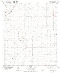
1979 · Schram Lake
USGS Topo · 1:24,000
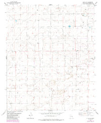
1979 · Elida SE
USGS Topo · 1:24,000