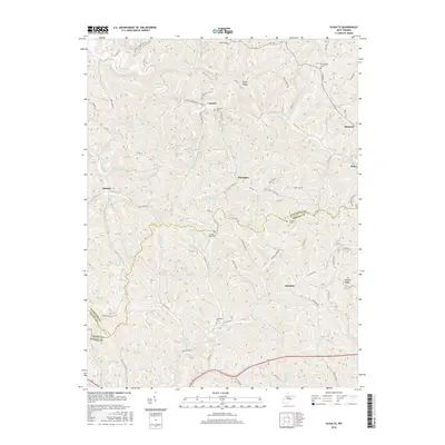
2016 Map of Schultz
USGS Topo · Published 2016About this map
Kings Ridge and Pleasants form the high-elevation backdrop for this section of the West Virginia backcountry, where the borders of Pleasants, Ritchie, and Wood counties converge. The landscape is defined by an intricate network of narrow hollows and runs, including French Creek, Cow Creek, and the winding Nutter Fork. Small rural settlements like Calcutta, Schultz, and Glendale are connected by a web of local routes such as County Route 20 and Old State Road, illustrating the persistent isolated settlement patterns of the region.
Find a feature on this map
93 named features on this map. Tap any name to fly to it.
Don’t see what you’re looking for? This feature index may not catch every label — zoom into the map to look around manually.
Map Details
Editions of this 2016 Schultz Map
This is the sole edition of this map. No revisions or reprints were ever made.
Other maps of this area

1904 · Marietta
USGS Topo · 1:62,500

1906 · Saint Marys
USGS Topo · 1:62,500

1906 · Elizabeth
USGS Topo · 1:62,500

1907 · Harrisville
USGS Topo · 1:62,500

1924 · St Marys
USGS Topo · 1:62,500

1924 · Harrisville
USGS Topo · 1:62,500

1924 · Marietta
USGS Topo · 1:62,500

1924 · Elizabeth
USGS Topo · 1:62,500

1926 · Elizabeth
USGS Topo · 1:62,500

1926 · Harrisville
USGS Topo · 1:62,500