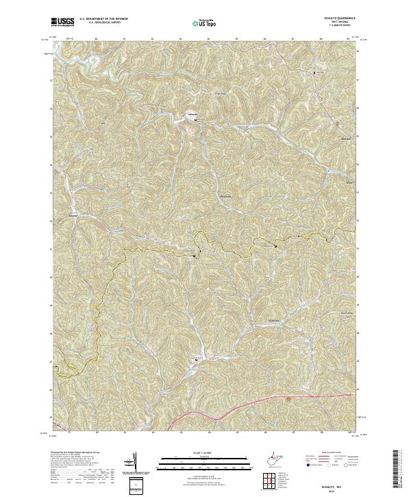
2023 Map of Schultz
USGS Topo · Published 2023About this map
Calcutta and Schultz anchor this contemporary survey of the West Virginia backcountry where Pleasants, Ritchie, and Wood counties converge. The landscape is defined by a dense network of watercourses and ridges, including Kings Ridge and the unusually named Pigskin Ridge (Little Painter). Small family burial grounds like Bills Family Cem and Ingram Ridge Cem are scattered across the terrain, offering essential coordinates for genealogists tracing Appalachian family roots. Modern recreational use is visible along the French Creek Water Trl, yet the map retains the footprint of older rural life through its labeling of remote hollows and ridges. Transportation follows the natural drainage of the land, with routes like Co Rd 50/34 tracking the paths of Goose Creek and Nutter Fork, illustrating how the narrow valleys continue to dictate the movement of the region.
Find a feature on this map
92 named features on this map. Tap any name to fly to it.
Don’t see what you’re looking for? This feature index may not catch every label — zoom into the map to look around manually.
Map Details
Editions of this 2023 Schultz Map
This is the sole edition of this map. No revisions or reprints were ever made.
Other maps of this area

1904 · Marietta
USGS Topo · 1:62,500

1906 · Saint Marys
USGS Topo · 1:62,500

1906 · Elizabeth
USGS Topo · 1:62,500

1907 · Harrisville
USGS Topo · 1:62,500

1924 · St Marys
USGS Topo · 1:62,500

1924 · Harrisville
USGS Topo · 1:62,500

1924 · Marietta
USGS Topo · 1:62,500

1924 · Elizabeth
USGS Topo · 1:62,500

1926 · Elizabeth
USGS Topo · 1:62,500

1926 · Harrisville
USGS Topo · 1:62,500