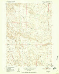
1951 Map of Schuster Flats NE
USGS Topo · Published 1958About this map
Dobie Butte stands as a prominent landmark in this arid stretch of the Missouri River Basin during the early 1950s. The landscape is defined by a series of parallel drainage systems, including Fivemile Creek, Sixmile Creek, and the multiple branches of the Tenmile Creek system, such as North Fork Tenmile Creek and Middle Fork Tenmile Creek. This period of mapping was conducted as part of a larger federal program for basin development, capturing a snapshot of the region's topography shortly after aerial photography was utilized for more precise surveying.
Find a feature on this map
12 named features on this map. Tap any name to fly to it.
Don’t see what you’re looking for? This feature index may not catch every label — zoom into the map to look around manually.
Map Details
Editions of this 1951 Schuster Flats NE Map
3 editions found
Other maps of this area

1951 · Schuster Flats NE
USGS Topo · 1:24,000

1951 · Schuster Flats
USGS Topo · 1:24,000

1951 · Schuster Flats NW
USGS Topo · 1:24,000

1951 · Schuster Flats SE
USGS Topo · 1:24,000

1955 · Cody
USGS Topo · 1:250,000

1955 · Sheridan
USGS Topo · 1:250,000

1958 · Cody
USGS Topo · 1:250,000

1958 · Sheridan
USGS Topo · 1:250,000

1960 · Manderson
USGS Topo · 1:24,000

1962 · Sheridan
USGS Topo · 1:250,000