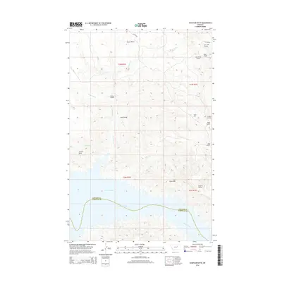
2014 Map of Schuyler Butte
USGS Topo · Published 2014About this map
The Missouri River and the northern reaches of Fort Peck Lake dominate the southern landscape of this 2014 survey, marking the boundary where Phillips and Garfield counties meet. The terrain is defined by a dense network of coulees and ridges, including Iron Stake Ridge and Blue Ridge, which carve through the high plains north of the water. The historic Telegraph Rd traverses the northern section near Dryer Place, a lone named settlement reflecting the sparse, ranching-oriented land use of this region.
Find a feature on this map
23 named features on this map. Tap any name to fly to it.
Don’t see what you’re looking for? This feature index may not catch every label — zoom into the map to look around manually.
Map Details
Editions of this 2014 Schuyler Butte Map
This is the sole edition of this map. No revisions or reprints were ever made.
Other maps of this area

1954 · Jordan
USGS Topo · 1:250,000

1956 · Jordan
USGS Topo · 1:250,000

1958 · Jordan
USGS Topo · 1:250,000

1964 · Jordan
USGS Topo · 1:250,000

1965 · Coal Mine Hill
USGS Topo · 1:24,000

1965 · Lost Creek
USGS Topo · 1:24,000

1965 · Sun Prairie
USGS Topo · 1:24,000

1965 · Herman Point
USGS Topo · 1:24,000

1965 · Pine Grove School
USGS Topo · 1:24,000

1965 · Schuyler Butte
USGS Topo · 1:24,000