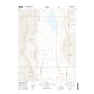
2014 Map of Scipio Lake
USGS Topo · Published 2014About this map
Scipio Lake dominates the central basin of this high-desert landscape, situated where the Pahvant Range meets the Valley Mountains. In the early 21st century, this corridor served as a critical hydraulic and transit link between the Fishlake National Forest and the agricultural valleys below. The map identifies the small settlement of Maple Grove at the base of the mountains, connected to the backcountry by Maple Grove Rd.
Find a feature on this map
44 named features on this map. Tap any name to fly to it.
Don’t see what you’re looking for? This feature index may not catch every label — zoom into the map to look around manually.
Map Details
Editions of this 2014 Scipio Lake Map
This is the sole edition of this map. No revisions or reprints were ever made.
Other maps of this area

1885 · Manti
USGS Topo · 1:250,000

1885 · Beaver
USGS Topo · 1:250,000

1885 · Sevier Desert
USGS Topo · 1:250,000

1885 · Fish Lake
USGS Topo · 1:250,000

1895 · Manti
USGS Topo · 1:250,000

1896 · Fish Lake
USGS Topo · 1:250,000

1953 · Richfield
USGS Topo · 1:250,000

1953 · Delta
USGS Topo · 1:250,000

1956 · Salina
USGS Topo · 1:250,000

1956 · Price
USGS Topo · 1:250,000