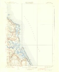
1940 Map of Scituate
USGS Topo · Published 1940About this map
Scituate Harbor and its surrounding coastal villages appear here in the mid-1930s, showing a transition from maritime reliance to a seasonal seaside economy. The landscape is defined by the prominent sequence of headlands known as First Cliff, Second Cliff, Third Cliff, and Fourth Cliff, which protected established settlements like Sand Hills and Peggotty Beach. A notable infrastructure change is recorded inland, where the New York New Haven and Hartford Railroad is marked as abandoned, signaling a shift in how residents and visitors reached coastal points like Shore Acres and Humarock Beach. To the south, the complex estuary system formed by the North River and South River reveals the intricate tidal geography of Marshfield Hills, with numerous low-lying islands such as Trouant Island and Tilden Island scattered within the salt marshes.
Find a feature on this map
60 named features on this map. Tap any name to fly to it.
Don’t see what you’re looking for? This feature index may not catch every label — zoom into the map to look around manually.
Map Details
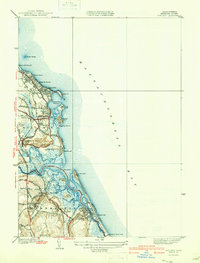
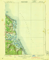
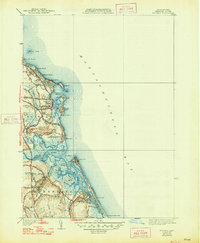
Editions of this 1940 Scituate Map
4 editions found
Other maps of this area

1885 · Abington
USGS Topo · 1:62,500

1885 · Duxbury
USGS Topo · 1:62,500

1888 · Duxbury
USGS Topo · 1:62,500

1888 · Abington
USGS Topo · 1:62,500

1892 · Boston Bay
USGS Topo · 1:62,500

1893 · Abington
USGS Topo · 1:62,500

1893 · Duxbury
USGS Topo · 1:62,500

1903 · Boston Bay
USGS Topo · 1:62,500

1918 · Duxbury
USGS Topo · 1:62,500

1920 · Abington
USGS Topo · 1:62,500