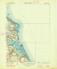
1940 Map of Scituate
USGS Topo · Published 1948About this map
Scituate Harbor and its surrounding coastal cliffs dominate this 1940s landscape, revealing a community balanced between maritime industry and early twentieth-century recreation. The coastline is defined by prominent landmarks like First Cliff, Second Cliff, and Third Cliff, with the Coast Guard Sta positioned at the harbor entrance. Further south, the intricate tidal marshes of the North River and South River separate Scituate from Marshfield, creating a complex network of islands such as Tilden Island and Bear Island.
Find a feature on this map
62 named features on this map. Tap any name to fly to it.
Don’t see what you’re looking for? This feature index may not catch every label — zoom into the map to look around manually.
Map Details
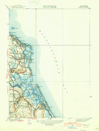
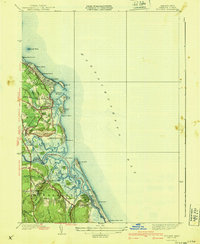
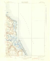
Editions of this 1940 Scituate Map
4 editions found
Other maps of this area

1885 · Abington
USGS Topo · 1:62,500

1885 · Duxbury
USGS Topo · 1:62,500

1888 · Duxbury
USGS Topo · 1:62,500

1888 · Abington
USGS Topo · 1:62,500

1892 · Boston Bay
USGS Topo · 1:62,500

1893 · Abington
USGS Topo · 1:62,500

1893 · Duxbury
USGS Topo · 1:62,500

1903 · Boston Bay
USGS Topo · 1:62,500

1918 · Duxbury
USGS Topo · 1:62,500

1920 · Abington
USGS Topo · 1:62,500