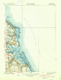
1940 Map of Scituate
USGS Topo · Published 1940About this map
Scituate Harbor serves as the focal point for this coastal survey, where the Massachusetts shoreline meets the Atlantic. The landscape is defined by the four distinctive coastal promontories: First Cliff, Second Cliff, Third Cliff, and Fourth Cliff, which protect the harbor and the residential developments of Shore Acres and Sand Hills. Inland, the map documents the transition of transportation technology with the New York New Haven and Hartford RR (Abandoned), its tracks and stations like Marshfield Hills Sta still visible across the terrain. The marshy wetlands between the North River and South River frame historic settlements like Greenbush and Humarock. Local genealogy and land use are preserved through family-named features such as Hannah Eames Brook and Wills Island, alongside communal landmarks like the Union Cem and the Scituate Country Club.
Find a feature on this map
64 named features on this map. Tap any name to fly to it.
Don’t see what you’re looking for? This feature index may not catch every label — zoom into the map to look around manually.
Map Details
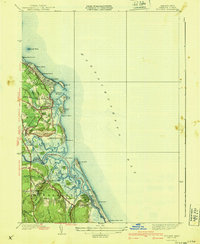
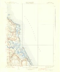
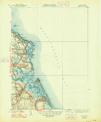
Editions of this 1940 Scituate Map
4 editions found
Other maps of this area

1885 · Abington
USGS Topo · 1:62,500

1885 · Duxbury
USGS Topo · 1:62,500

1888 · Duxbury
USGS Topo · 1:62,500

1888 · Abington
USGS Topo · 1:62,500

1892 · Boston Bay
USGS Topo · 1:62,500

1893 · Abington
USGS Topo · 1:62,500

1893 · Duxbury
USGS Topo · 1:62,500

1903 · Boston Bay
USGS Topo · 1:62,500

1918 · Duxbury
USGS Topo · 1:62,500

1920 · Abington
USGS Topo · 1:62,500