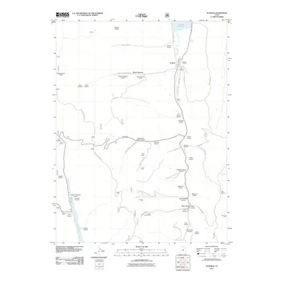
2011 Map of Scofield
USGS Topo · Published 2011About this map
Pleasant Valley serves as the central corridor for this Utah mining region, anchored by the town of Scofield and the industrial activity of Clear Creek. The landscape is defined by its extensive underground extraction history, with several operations such as the Skyline Mine, Gibson Mine, and Old Black Diamond Mine dotting the canyon floors. These sites are linked by a complex network of forest and resource roads, including Skyline Dr and Boarding House Canyon Rd, which navigate the deep drainages of Winter Quarters Canyon and Eccles Canyon.
Find a feature on this map
65 named features on this map. Tap any name to fly to it.
Don’t see what you’re looking for? This feature index may not catch every label — zoom into the map to look around manually.
Map Details
Editions of this 2011 Scofield Map
This is the sole edition of this map. No revisions or reprints were ever made.
Other maps of this area

1885 · Manti
USGS Topo · 1:250,000

1895 · Manti
USGS Topo · 1:250,000

1923 · Scofield
USGS Topo · 1:62,500

1925 · Scofield
USGS Topo · 1:62,500

1939 · Soldier Summit
USGS Topo · 1:62,500

1942 · Soldier Summit
USGS Topo · 1:62,500

1956 · Price
USGS Topo · 1:250,000

1960 · Price
USGS Topo · 1:250,000

1962 · Price
USGS Topo · 1:250,000

1965 · Huntington Reservoir
USGS Topo · 1:24,000