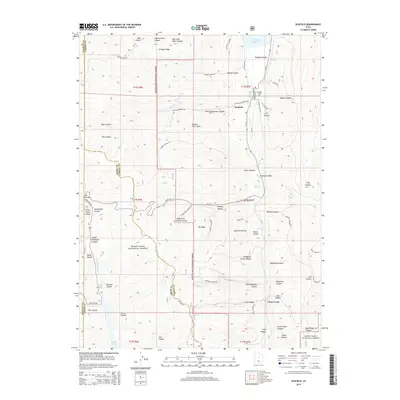
2014 Map of Scofield
USGS Topo · Published 2014About this map
Scofield and Clear Creek anchor this high-altitude landscape where the Wasatch Plateau meets the coal-rich valleys of the Carbon and Emery county borders. The map detail reflects a region defined by narrow canyons and industrial legacy, with the U P railroad line threading through Pleasant Valley to serve the local mines and settlements. Steep drainage systems like Winter Quarters Canyon and Eccles Canyon cut through the rugged terrain of the Manti-LaSal National Forest, while the Scofield Reservoir dominates the northern landscape near Sulphur Springs. Genealogical and historical markers are scattered throughout, including the Scofield Cem and several family-named features such as Andrew Dairy Canyon. This survey captures the complex topography of the plateau, where modern roads like Skyline Dr follow the high ridges once used as vital transit corridors between the mountain basins.
Find a feature on this map
65 named features on this map. Tap any name to fly to it.
Don’t see what you’re looking for? This feature index may not catch every label — zoom into the map to look around manually.
Map Details
Editions of this 2014 Scofield Map
This is the sole edition of this map. No revisions or reprints were ever made.
Other maps of this area

1885 · Manti
USGS Topo · 1:250,000

1895 · Manti
USGS Topo · 1:250,000

1923 · Scofield
USGS Topo · 1:62,500

1925 · Scofield
USGS Topo · 1:62,500

1939 · Soldier Summit
USGS Topo · 1:62,500

1942 · Soldier Summit
USGS Topo · 1:62,500

1956 · Price
USGS Topo · 1:250,000

1960 · Price
USGS Topo · 1:250,000

1962 · Price
USGS Topo · 1:250,000

1965 · Huntington Reservoir
USGS Topo · 1:24,000