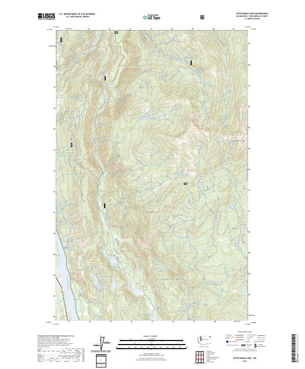
2023 Map of Scotchman Lake
USGS Topo · Published 2023About this map
Colville National Forest dominates this section of Pend Oreille County, where the terrain transitions from the high peaks of Molybdenite Mtn and Coyote Hill down into the narrow valleys of the Selkirk Mountains. The hydrology is particularly diverse, anchored by the Pend Oreille River in the west and a high-elevation network of alpine waters including Sullivan Lake, Deception Lake, and Ridge Lake.
Find a feature on this map
30 named features on this map. Tap any name to fly to it.
Don’t see what you’re looking for? This feature index may not catch every label — zoom into the map to look around manually.
Map Details
Editions of this 2023 Scotchman Lake Map
This is the sole edition of this map. No revisions or reprints were ever made.
Other maps of this area

1934 · Metaline
USGS Topo · 1:125,000

1942 · Metaline
USGS Topo · 1:125,000

1958 · Sandpoint
USGS Topo · 1:250,000

1963 · Sandpoint
USGS Topo · 1:250,000

1967 · Timber Mtn.
USGS Topo · 1:24,000

1967 · Ione
USGS Topo · 1:24,000

1967 · Scotchman Lake
USGS Topo · 1:24,000

1967 · Metaline
USGS Topo · 1:24,000

1967 · Metaline Falls
USGS Topo · 1:24,000

1967 · Monumental Mtn.
USGS Topo · 1:24,000