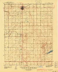
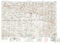
1955 Map of Scott City
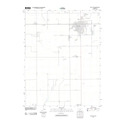
USGS Topo · Published 1976About this map
The Smoky Hill River and its numerous forks carve through the high plains of Western Kansas, defining a landscape of wide-open vistas and isolated settlements. This mid-century survey reveals the geometric precision of the region's agricultural layout, where Scott City and Leoti serve as vital hubs connected by the Missouri Pacific and Atchison Topeka and Santa Fe railroads. The topography is punctuated by remarkable erosional features like the Chalk Pyramids and Castle Rock, which stand as landmarks in the otherwise flat terrain.
Find a feature on this map
97 named features on this map. Tap any name to fly to it.
Don’t see what you’re looking for? This feature index may not catch every label — zoom into the map to look around manually.
Map Details
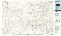
Editions of this 1955 Scott City Map
4 editions found

Historical Maps of Garden City Through Time
11 maps found
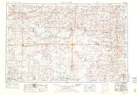
1940 Scott City
Scott County, KS
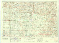
1951 Scott City
Scott County, KS
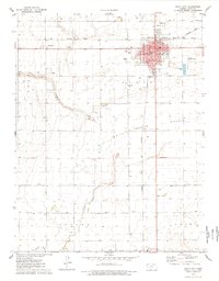
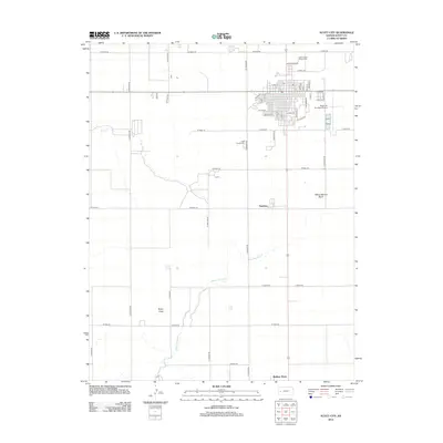
1955 Scott City
Scott County, KS

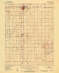
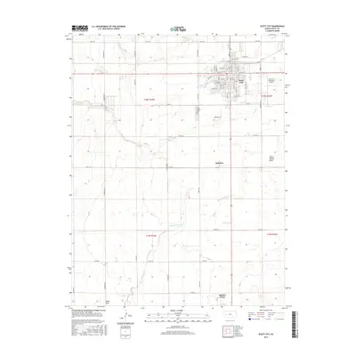
1958 Scott City
Scott County, KS
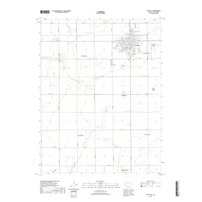
1976 Scott City
Scott County, KS
1985 Scott City
Scott County, KS
2009 Scott City
Scott County, KS
2012 Scott City
Scott County, KS
2015 Scott City
Scott County, KS
2018 Scott City
Scott County, KS
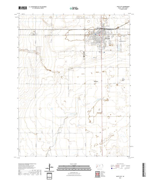
2022 Scott City
Scott County, KS