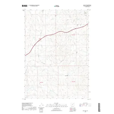
2018 Map of Scott Dam
USGS Topo · Published 2018About this map
Scott Dam and Bridge Dam anchor the water management landscape of this Campbell County terrain, where intermittent drainages and draws define the ranching country. The land is marked by a network of small reservoirs, including Dogtown Reservoir and Johnson Reservoir, which capture runoff in an area carved by the various forks of Dead Horse Creek. These include the Middle Prong Dead Horse Cr and N Prong Dead Horse Cr that wind through the southern sections of the township.
Find a feature on this map
30 named features on this map. Tap any name to fly to it.
Don’t see what you’re looking for? This feature index may not catch every label — zoom into the map to look around manually.
Map Details
Editions of this 2018 Scott Dam Map
This is the sole edition of this map. No revisions or reprints were ever made.
Other maps of this area

1954 · Gillette
USGS Topo · 1:250,000

1955 · Gillette
USGS Topo · 1:250,000

1958 · Gillette
USGS Topo · 1:250,000

1962 · Gillette
USGS Topo · 1:250,000
1971 · Double Tanks
USGS Topo · 1:24,000
1971 · Scott Dam
USGS Topo · 1:24,000

1971 · Oriva
USGS Topo · 1:24,000
1971 · Pleasantdale
USGS Topo · 1:24,000
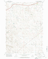
1971 · Four Bar J Ranch
USGS Topo · 1:24,000
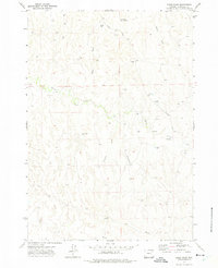
1971 · Bogie Draw
USGS Topo · 1:24,000