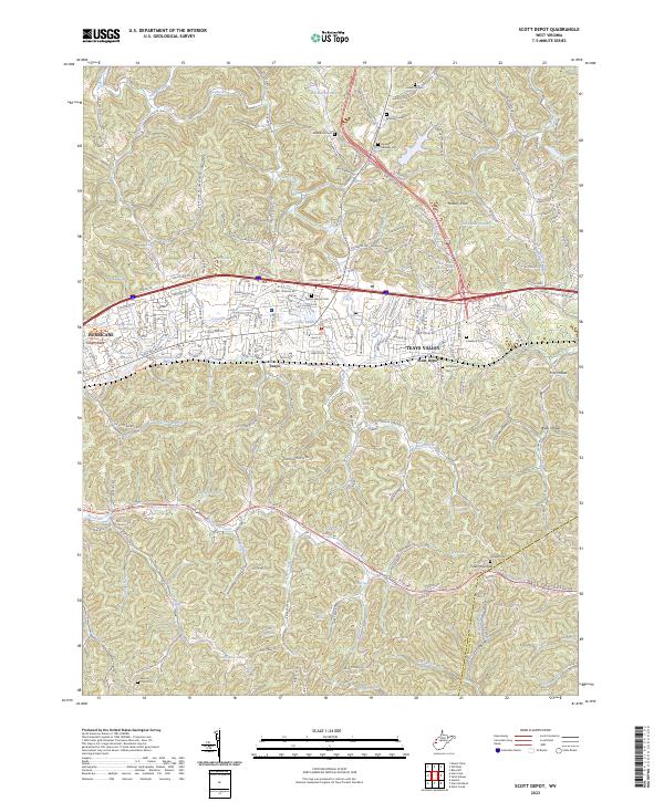
2023 Map of Scott Depot
USGS Topo · Published 2023About this map
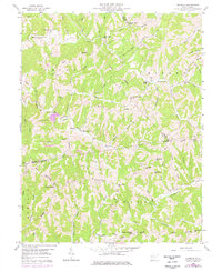
Scott Depot and the surrounding Teays Valley region reflect a modern landscape defined by extensive suburban development and complex topography. The map detail shows numerous established residential areas such as Brendonwood Acres and Country Cove Ests interspersed with high points like Hickory Knob and deep drainages including Hurricane Creek. Natural springs are a prominent feature of the local geography, with Wyant Spring, Lois Umberger Spring, and Leyton Fisher Spring among many named water sources surfacing across the terrain.
Find a feature on this map
173 named features on this map. Tap any name to fly to it.
Don’t see what you’re looking for? This feature index may not catch every label — zoom into the map to look around manually.
Map Details
Editions of this 2023 Scott Depot Map
This is the sole edition of this map. No revisions or reprints were ever made.
Historical Maps of Ranch Lake Estates Through Time
11 maps found
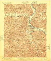
1909 Saint Albans
Putnam County, WV
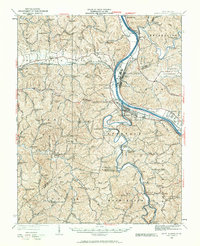
1931 Saint Albans
Putnam County, WV
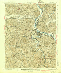
1933 Saint Albans
Putnam County, WV
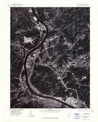
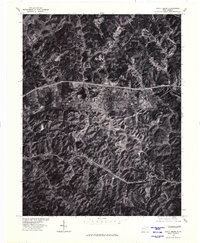
1958 Elmwood
Putnam County, WV
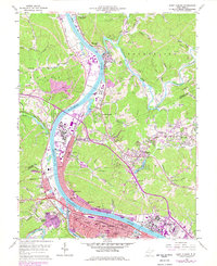
1958 Saint Albans
Putnam County, WV
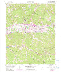
1958 Scott Depot
Putnam County, WV
1976 Saint Albans
Putnam County, WV
1977 Scott Depot
Putnam County, WV
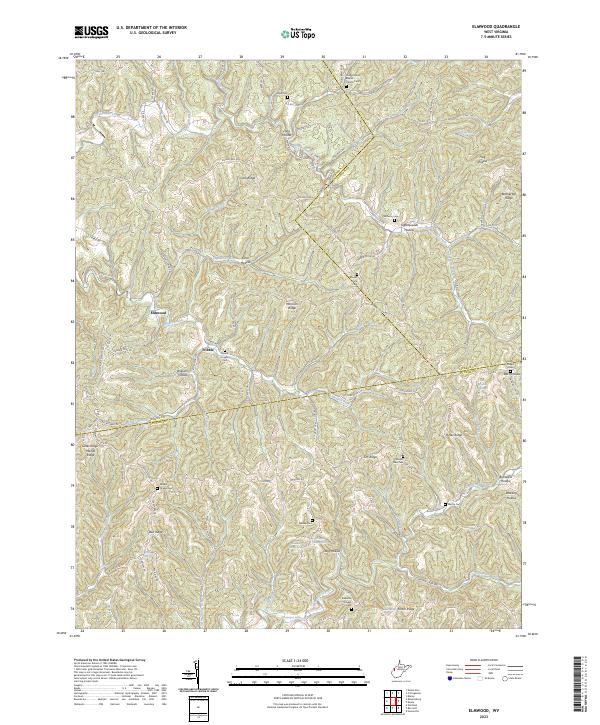
2023 Elmwood
Putnam County, WV
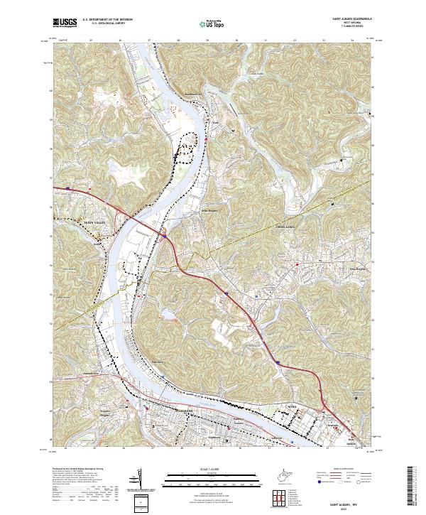
2023 Saint Albans
Putnam County, WV
2023 Scott Depot
Putnam County, WV