1909 Map of Saint Albans
USGS Topo · Published 1920About this map
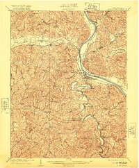
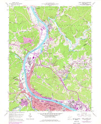
Saint Albans serves as the central hub of this 1909 survey, situated at the confluence of the Kanawha River and the winding Coal River. The landscape is defined by the industrial and transport infrastructure of the early twentieth century, with the Kanawha and Michigan R. R. and Chesapeake and Ohio R. R. tracing the riverbanks and mountain gaps. The map reveals a dense network of rural life, including an Infirmary and numerous educational landmarks like Blacks School, Liberty School, and Mt Vernon School.
Find a feature on this map
69 named features on this map. Tap any name to fly to it.
Don’t see what you’re looking for? This feature index may not catch every label — zoom into the map to look around manually.
Map Details
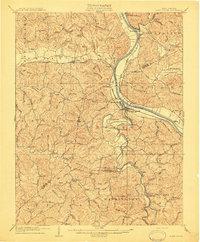
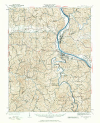
Editions of this 1909 Saint Albans Map
2 editions found
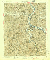
Historical Maps of Teays Valley Through Time
11 maps found
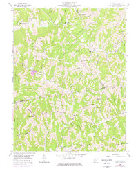
1909 Saint Albans
Putnam County, WV
1931 Saint Albans
Putnam County, WV
1933 Saint Albans
Putnam County, WV
1958 Elmwood
Putnam County, WV
1958 Saint Albans
Putnam County, WV
1958 Scott Depot
Putnam County, WV
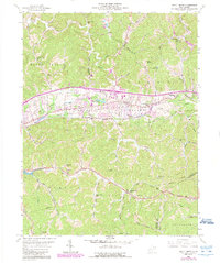
1976 Saint Albans
Putnam County, WV
1977 Scott Depot
Putnam County, WV
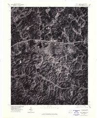
2023 Elmwood
Putnam County, WV
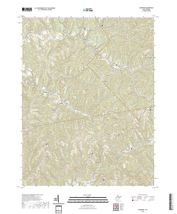
2023 Saint Albans
Putnam County, WV
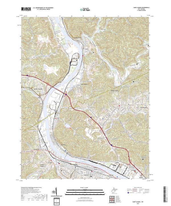
2023 Scott Depot
Putnam County, WV