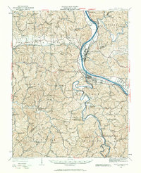
1931 Map of Saint Albans
USGS Topo · Published 1961About this map
The Kanawha River and the Coal River converge in this early 1930s landscape, illustrating the industrial and transport infrastructure of the era. The presence of Lock Seven on the Kanawha and the sprawling yards of the Chesapeake and Ohio railroad highlight a region heavily reliant on river and rail transit. Significant industrial nodes like Nitro and Saint Albans are shown alongside smaller company or resource-driven settlements such as Black Betsey and Raymond.
Find a feature on this map
136 named features on this map. Tap any name to fly to it.
Don’t see what you’re looking for? This feature index may not catch every label — zoom into the map to look around manually.
Map Details
Editions of this 1931 Saint Albans Map
2 editions found

Other maps of this area

1892 · Huntington
USGS Topo · 1:125,000

1898 · Huntington
USGS Topo · 1:125,000

1899 · Charleston
USGS Topo · 1:125,000

1902 · Milton
USGS Topo · 1:62,500

1902 · Midkiff
USGS Topo · 1:62,500

1906 · Glenwood
USGS Topo · 1:62,500

1906 · Kenna
USGS Topo · 1:62,500

1906 · Winfield
USGS Topo · 1:62,500

1907 · Kenna
USGS Topo · 1:62,500

1907 · Midkiff
USGS Topo · 1:62,500