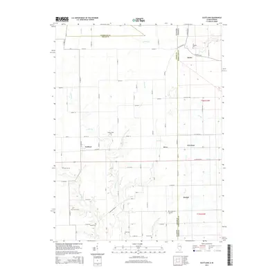
2015 Map of Scottland
USGS Topo · Published 2015About this map
The Illinois Indiana state line bisects this 2015 study, where the rural landscapes of Edgar County and Vermilion County converge. Small agricultural settlements like Scotland, Raven, and West Dana are distributed along a grid of county roads that navigate the meandering paths of the Salt Fork and Goose Creek. This drainage pattern, including Lick Run and Crabapple Creek, dictates the placement of older homesteads and the numerous family cemeteries that dot the countryside.
Find a feature on this map
61 named features on this map. Tap any name to fly to it.
Don’t see what you’re looking for? This feature index may not catch every label — zoom into the map to look around manually.
Map Details
Editions of this 2015 Scottland Map
This is the sole edition of this map. No revisions or reprints were ever made.
Other maps of this area

1947 · Ridge Farm
USGS Topo · 1:62,500

1947 · Paris
USGS Topo · 1:62,500

1949 · Paris
USGS Topo · 1:62,500

1951 · Clinton
USGS Topo · 1:24,000

1951 · Saint Bernice
USGS Topo · 1:24,000

1953 · Indianapolis
USGS Topo · 1:250,000

1955 · Humrick
USGS Topo · 1:24,000

1955 · Scottland
USGS Topo · 1:24,000

1955 · Dana
USGS Topo · 1:24,000
1955 · Newport
USGS Topo · 1:24,000