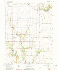
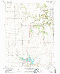
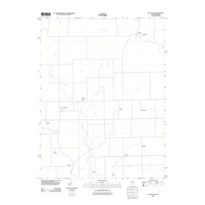
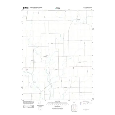
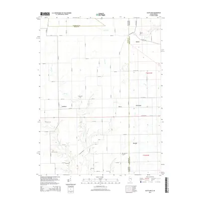
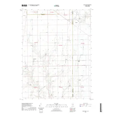
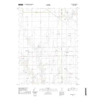
1965 Map of Scottland
USGS Topo · Published 1982About this map
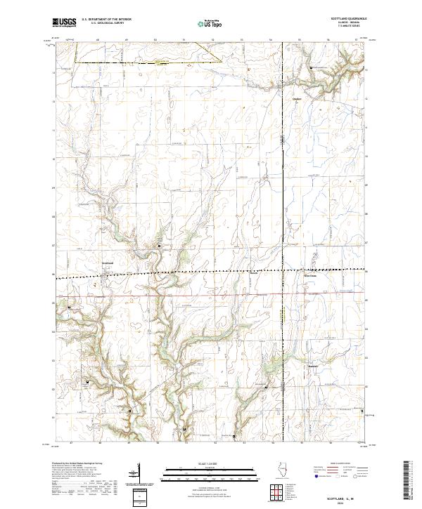
The Indian Treaty Boundary cuts diagonally through the northeast corner of this landscape, marking a legacy of early surveying and land division at the Illinois-Indiana border. The rail-and-agriculture economy of the mid-1960s is centered on the Baltimore and Ohio and the Chicago Milwaukee St Paul and Pacific railroads, which served small prairie settlements like Scottland (Scotland Sta), Raven, and West Dana. To the south, the terrain breaks from the flat Prairie into the wooded drainages of Brouilletts Creek and its many tributaries, including Crabapple Creek and Lick Run. Family and community history is preserved in a high density of rural cemeteries, such as Mt Carmel Cem and Newcomb Cem, along with local landmarks like Wesley Chapel and Roadside Park.
Find a feature on this map
33 named features on this map. Tap any name to fly to it.
Don’t see what you’re looking for? This feature index may not catch every label — zoom into the map to look around manually.
Map Details
Editions of this 1965 Scottland Map
2 editions found

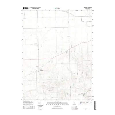
Historical Maps of Raven Through Time
29 maps found
1950 Sandford
Edgar County, IL
1951 Saint Bernice
Edgar County, IL
1955 Scottland
Edgar County, IL
1965 Scottland
Edgar County, IL
1966 Paris North
Edgar County, IL
1966 Paris South
Edgar County, IL
1982 Grandview
Edgar County, IL
1998 Scottland
Edgar County, IL
2011 Scottland
Edgar County, IL
2012 Grandview
Edgar County, IL
2012 Paris North
Edgar County, IL
2012 Paris South
Edgar County, IL
2012 Scottland
Edgar County, IL
2015 Grandview
Edgar County, IL
2015 Paris North
Edgar County, IL
2015 Paris South
Edgar County, IL
2015 Scottland
Edgar County, IL
2018 Grandview
Edgar County, IL
2018 Paris North
Edgar County, IL
2018 Paris South
Edgar County, IL
2018 Scottland
Edgar County, IL
2021 Grandview
Edgar County, IL
2021 Paris North
Edgar County, IL
2021 Paris South
Edgar County, IL
2021 Scottland
Edgar County, IL
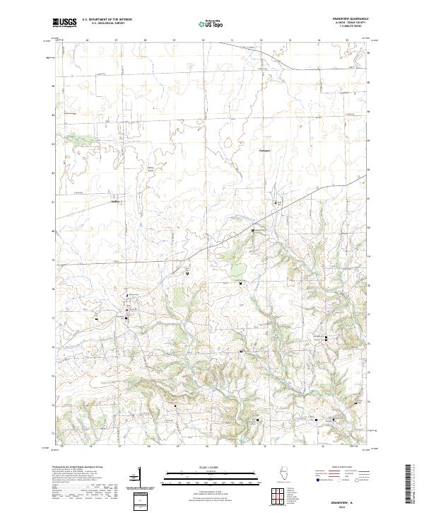
2024 Grandview
Edgar County, IL
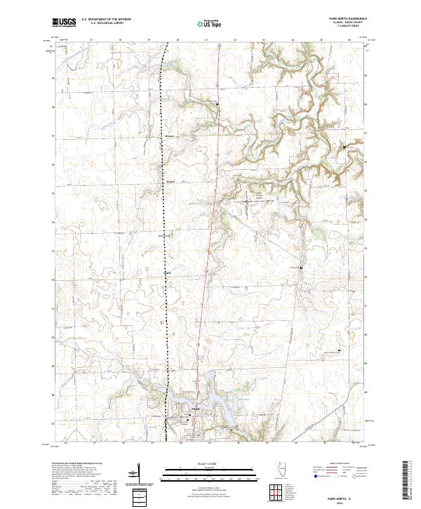
2024 Paris North
Edgar County, IL
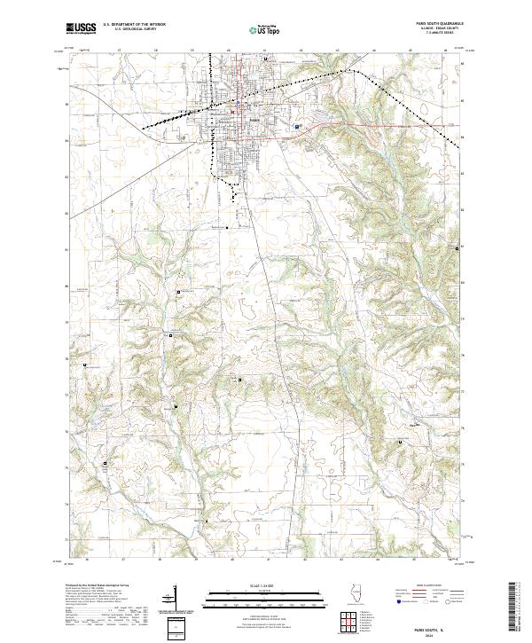
2024 Paris South
Edgar County, IL
2024 Scottland
Edgar County, IL