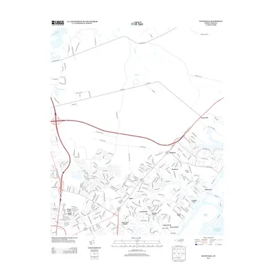
2013 Map of Scotts Hill
USGS Topo · Published 2013About this map
Middle Sound and the marshes of the Atlantic Ocean define the eastern edge of this coastal landscape, where residential development sits alongside tidal inlets and creeks. The primary corridor of Highway 17 serves as the backbone for a series of established communities, including Scotts Hill, Kirkland, and Bayshore. The map illustrates a transition from the denser residential subdivisions of Ogden and Kings Grant toward more rural and wooded tracts in the north, punctuated by family-named landmarks and historical roads such as Ideal Cement Rd and Stephens Church Rd.
Find a feature on this map
260 named features on this map. Tap any name to fly to it.
Don’t see what you’re looking for? This feature index may not catch every label — zoom into the map to look around manually.
Map Details
Editions of this 2013 Scotts Hill Map
This is the sole edition of this map. No revisions or reprints were ever made.
Other maps of this area
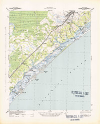
1942 · Topsail
USGS Topo · 1:62,500
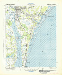
1942 · Wilmington
USGS Topo · 1:62,500
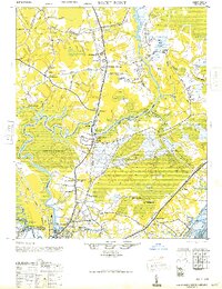
1947 · Rocky Point
USGS Topo · 1:62,500
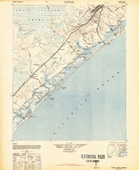
1948 · Topsail
USGS Topo · 1:62,500
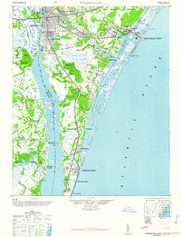
1948 · Wilmington
USGS Topo · 1:62,500
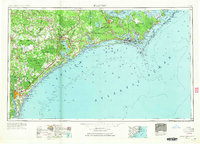
1953 · Beaufort
USGS Topo · 1:250,000
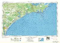
1954 · Beaufort
USGS Topo · 1:250,000
1970 · Hampstead
USGS Topo · 1:24,000
1970 · Wrightsville Beach
USGS Topo · 1:24,000
1970 · Topsail
USGS Topo · 1:24,000