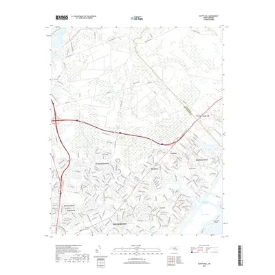
2019 Map of Scotts Hill
USGS Topo · Published 2019About this map
Wilmington expands toward the coast in this detailed topographic study of New Hanover and Pender counties. The landscape is defined by its relationship with the Intracoastal Waterway and Middle Sound, where established communities like Scotts Hill and Ogden sit alongside the marshy reaches of Pages Creek and Howe Creek. The map provides significant genealogical value, documenting sites such as the Poplar Grove Plantation Cem and Prospect Cem, as well as the transition from older agricultural lands to modern residential developments like Porters Neck. The coastal geography is anchored by Figure Eight Island, separated from the mainland by the waterway, while inland the terrain is drained by Island Creek and Smith Creek. This document serves as a precise record of the infrastructure and land use in the Wilmington suburbs during the late 2010s.
Find a feature on this map
214 named features on this map. Tap any name to fly to it.
Don’t see what you’re looking for? This feature index may not catch every label — zoom into the map to look around manually.
Map Details
Editions of this 2019 Scotts Hill Map
This is the sole edition of this map. No revisions or reprints were ever made.
Other maps of this area

1942 · Topsail
USGS Topo · 1:62,500

1942 · Wilmington
USGS Topo · 1:62,500

1947 · Rocky Point
USGS Topo · 1:62,500

1948 · Topsail
USGS Topo · 1:62,500

1948 · Wilmington
USGS Topo · 1:62,500

1953 · Beaufort
USGS Topo · 1:250,000

1954 · Beaufort
USGS Topo · 1:250,000

1970 · Hampstead
USGS Topo · 1:24,000
1970 · Wrightsville Beach
USGS Topo · 1:24,000

1970 · Topsail
USGS Topo · 1:24,000