2022 Map of Scotts Hill
USGS Topo · Published 2022About this map
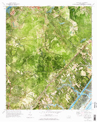
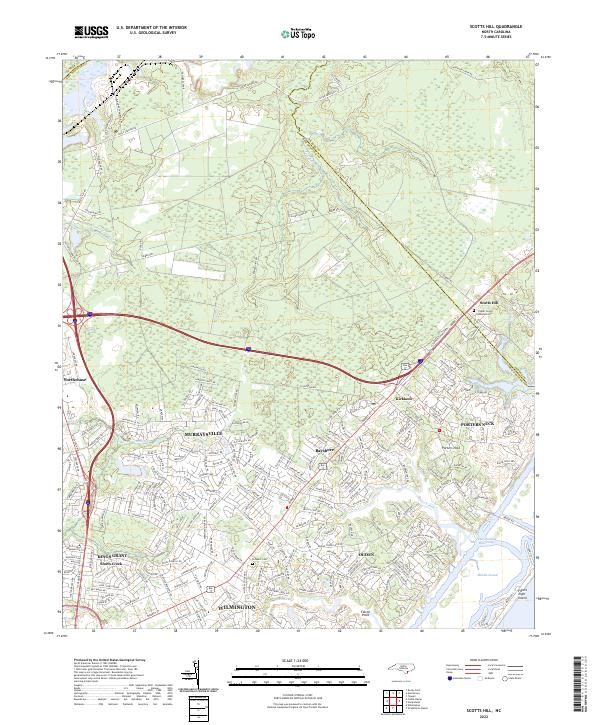
Scotts Hill and the growing coastal communities of northern New Hanover County are defined by their position between the forest and the sea. The landscape transitions from the wooded drainage of Island Cr in the north to the developed residential corridors of Murraysville and Ogden further south. Near the shoreline, the Intracoastal Waterway separates the mainland from Figure Eight Island, creating a complex network of marshes and tidal reaches such as Middle Sound and Pages Creek.
Find a feature on this map
230 named features on this map. Tap any name to fly to it.
Don’t see what you’re looking for? This feature index may not catch every label — zoom into the map to look around manually.
Map Details
Editions of this 2022 Scotts Hill Map
This is the sole edition of this map. No revisions or reprints were ever made.
Historical Maps of Kings Grant Through Time
6 maps found