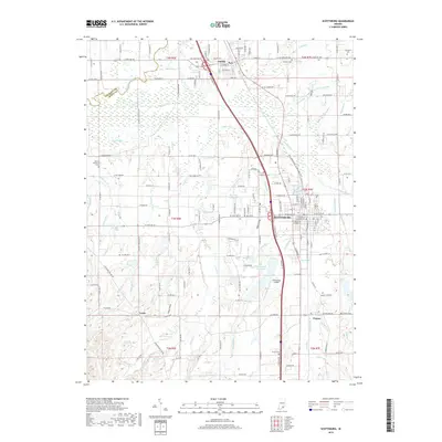
2019 Map of Scottsburg
USGS Topo · Published 2019About this map
Scottsburg and the nearby town of Austin are the primary hubs of activity in this Scott County landscape, connected by a network of state roads and the L & I RR. The map captures a mix of residential growth and industrial transport, with Scottsburg Airport serving the local region. This area is defined by its complex drainage system, where the Muscatatuck River flows near the Jackson County line and numerous ditches like Ox Ditch and Stink Ditch manage the low-lying plains.
Find a feature on this map
118 named features on this map. Tap any name to fly to it.
Don’t see what you’re looking for? This feature index may not catch every label — zoom into the map to look around manually.
Map Details
Editions of this 2019 Scottsburg Map
This is the sole edition of this map. No revisions or reprints were ever made.
Other maps of this area

1947 · Scottsburg
USGS Topo · 1:24,000

1949 · Henryville
USGS Topo · 1:24,000

1955 · South Boston
USGS Topo · 1:24,000

1956 · Otisco
USGS Topo · 1:24,000

1956 · Blocher
USGS Topo · 1:24,000

1956 · Deputy
USGS Topo · 1:24,000

1956 · Louisville
USGS Topo · 1:250,000

1958 · Little York
USGS Topo · 1:24,000

1959 · Tampico
USGS Topo · 1:24,000

1959 · Crothersville
USGS Topo · 1:24,000