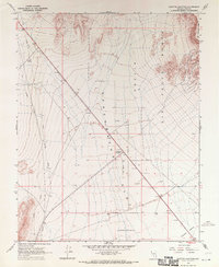
1968 Map of Scottys Junction
USGS Topo · Published 1970About this map
Sarcobatus Flat dominates this desert landscape, where the intersection of major roads at Scottys Junction serves as the primary outpost. The map captures a high-desert environment defined by the vast Nellis Air Force Range to the east and the rugged ascent toward Pahute Mesa. A significant historical remnant is the Old Railroad Grade tracing along the western edge, providing a clear path of early 20th-century transportation routes through the basin.
Find a feature on this map
16 named features on this map. Tap any name to fly to it.
Don’t see what you’re looking for? This feature index may not catch every label — zoom into the map to look around manually.
Map Details
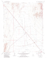
Editions of this 1968 Scottys Junction Map
2 editions found
Other maps of this area

1908 · Kawich
USGS Topo · 1:250,000

1908 · Lida
USGS Topo · 1:250,000

1913 · Lida
USGS Topo · 1:250,000

1942 · Tolicha Peak
USGS Topo · 1:125,000

1954 · Goldfield
USGS Topo · 1:250,000

1955 · Goldfield
USGS Topo · 1:250,000

1958 · Goldfield
USGS Topo · 1:250,000

1962 · Goldfield
USGS Topo · 1:250,000
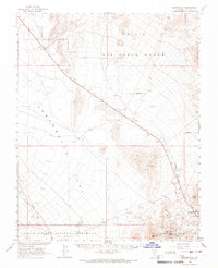
1966 · Springdale
USGS Topo · 1:62,500

1968 · Stonewall Pass
USGS Topo · 1:24,000