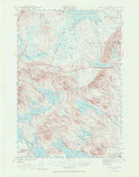
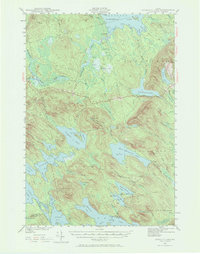
1941 Map of Scraggly Lake
USGS Topo · Published 1972About this map
Baskahegan Lake and the surrounding wilderness of Washington and Penobscot Counties are documented in this 1941 survey, showing a landscape defined by an intricate network of waterways and prominent ridges. The terrain is dominated by the massive Baskahegan Lake and the high peaks of Musquash Mountain, which is topped by a Fire Tower. This area of Maine is characterized by its transition between open water and expansive wetlands, notably the Alder Brook Swamp and numerous caribou bogs that illustrate the natural drainage patterns of the era before significant modern development.
Find a feature on this map
84 named features on this map. Tap any name to fly to it.
Don’t see what you’re looking for? This feature index may not catch every label — zoom into the map to look around manually.
Map Details
Editions of this 1941 Scraggly Lake Map
6 editions found
Other maps of this area

1931 · Springfield
USGS Topo · 1:48,000

1932 · Nicatous Lake
USGS Topo · 1:48,000

1934 · Nicatous Lake
USGS Topo · 1:62,500

1934 · Springfield
USGS Topo · 1:62,500

1940 · Danforth
USGS Topo · 1:62,500

1940 · Waite
USGS Topo · 1:62,500

1940 · Forest
USGS Topo · 1:62,500

1941 · Danforth
USGS Topo · 1:62,500

1941 · Scraggly Lake
USGS Topo · 1:62,500

1941 · Big Lake
USGS Topo · 1:62,500