
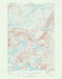
1941 Map of Scraggly Lake
USGS Topo · Published 1941About this map
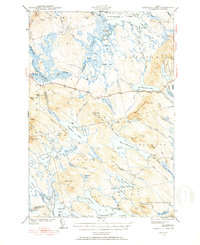
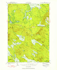
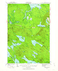
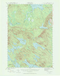
Baskahegan Lake and the interconnected waterways of eastern Maine define this 1941 landscape, a region dominated by timber tracts and glacial topography during the early 1940s. The terrain is structured by massive elevations like Musquash Mountain and Stetson Mtn, while the drainage of Baskahegan Stream and Musquash Stream create a complex network of wetlands including Crabtree Bog and Lathrop Heath. Civil works are sparse, represented by a single Firetower and the remote Gentner Road, reflecting a time when this part of Washington County was primarily used for resource extraction and hunting. Small water bodies like Pickerel Pond and Farrow Lake are tucked between ridges such as Pleasant Lake Ridge and Trout Lake Ridge, showcasing the untouched character of the Maine woods before modern development altered these backcountry routes.
Find a feature on this map
96 named features on this map. Tap any name to fly to it.
Don’t see what you’re looking for? This feature index may not catch every label — zoom into the map to look around manually.
Map Details
Editions of this 1941 Scraggly Lake Map
6 editions found
Other maps of this area

1931 · Springfield
USGS Topo · 1:48,000

1932 · Nicatous Lake
USGS Topo · 1:48,000

1934 · Nicatous Lake
USGS Topo · 1:62,500

1934 · Springfield
USGS Topo · 1:62,500

1940 · Danforth
USGS Topo · 1:62,500

1940 · Waite
USGS Topo · 1:62,500

1940 · Forest
USGS Topo · 1:62,500

1941 · Danforth
USGS Topo · 1:62,500

1941 · Big Lake
USGS Topo · 1:62,500

1941 · Wytopitlock
USGS Topo · 1:62,500