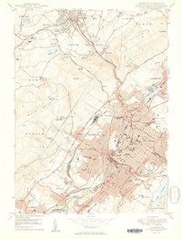
1950 Map of Scranton
USGS Topo · Published 1950About this map
The Lackawanna River corridor serves as the industrial and civic spine of this post-war landscape, where the dense urban centers of Scranton and Dunmore meet the steep slopes of Bald Mountain and Bell Mountain. This survey illustrates a city at its institutional height, anchored by Scranton University, Marywood College, and the sprawling campus of the International Correspondence Schools. The valley is heavily partitioned by a complex web of rail lines, including the Delaware Lackawanna and Western and the Erie RR, which navigate around extensive strip mining areas and the rugged city blocks of Hyde Park and Providence.
Find a feature on this map
97 named features on this map. Tap any name to fly to it.
Don’t see what you’re looking for? This feature index may not catch every label — zoom into the map to look around manually.
Map Details
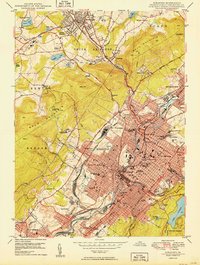
Editions of this 1950 Scranton Map
2 editions found
Other maps of this area

1889 · Scranton
USGS Topo · 1:62,500

1891 · Scranton
USGS Topo · 1:62,500

1892 · Dundaff
USGS Topo · 1:62,500

1893 · Pittston
USGS Topo · 1:62,500

1893 · Scranton
USGS Topo · 1:62,500

1943 · Scranton
USGS Topo · 1:125,000

1946 · Tunkhannock
USGS Topo · 1:62,500

1946 · Dalton
USGS Topo · 1:24,000
1946 · Avoca
USGS Topo · 1:24,000

1946 · Olyphant
USGS Topo · 1:24,000